Skip to content

Ol Donyo Sabuk National Park, Mount Kilimambogo

Ol Donyo Sabuk National Park, Machakos County, Kenya

Ol Donyo Sabuk National Park is a small park of 20.7 square kilometres in Machakos County, Kenya, built around a mountain of the same name. The name "Ol Donyo Sabuk" comes from the Maasai language and means "Large Mountain". The Kikuyu people call it "Kilimambogo" (Buffalo Mountain).

The mountain dominates the park and stands 2,145 metres above sea level. From the 9km summit you can see Mount Kenya and Mount Kilimanjaro on a clear day. Fourteen Falls, on the Athi River nearby, is another attraction.

More than 200 buffaloes live in the park, along with colobus monkeys, bushbucks and several kinds of birds.

Hiking to the summit is the most popular activity. Game viewing and camping are also available.

The American settler and game hunter Sir William Northrup McMillan once owned the land, and his grave is near the summit of the mountain.

Website: kws.go.ke/ol-donyo-sabuk-national-park

  • #OlDonyoSabuk
  • #MountKilimambogo
  • #BuffaloMountain
  • #KenyaNationalParks
  • #Hiking
  • #Wildlife
  • #Camping
  • #ScenicViews
  • #FourteenFalls
  • #LordMacmillan
  • #VisitKenya
  • #PlacesToVisitInKenya
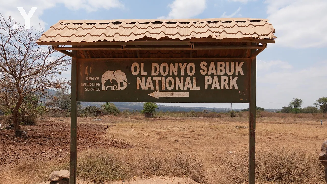
Kenya Wildlife Service signboard for Ol Donyo Sabuk National Park beside a dusty red road.
The Ol Donyo Sabuk National Park signboard next to a painted rock sign for the resort, 4km on.
Visitors and a ranger at the main gate of Ol Donyo Sabuk National Park, under a welcome banner.
Orange signboard listing park activities: hiking, birding, panoramic views, accommodation and camping.
Hikers walk up a red dirt road lined with green bush inside the park.
A painted rock marks the Mavia Maiyu hiking trail on bare ground.
A narrow rocky footpath climbs through dry bush and thin trees.
Dry golden grass on a hillside, with flat plains stretching to hazy hills beyond.
A power pylon stands among trees in a hazy valley below the trail, with hills far off.
Bare tree roots snake over broken grey rocks on a steep part of the trail.
A rough stony trail climbs through dry bush under scattered trees.
A narrow dirt path winds uphill through thick green bush in dappled shade.
A wide dirt trail bends past thick green bush, with forested hills beyond.
Green forested slopes seen through gaps in the branches, under a pale sky.
A wide view from the mountain over green bushland and plains, with distant hills and a few clouds.
A flat green plain stretches to the horizon, with a leafy tree at the right of the frame.
A small group of hikers on a shaded dirt trail further down the mountain, among thin trees.
Hikers walk along a shaded path, seen through leaves and branches.
Hazy farmland and bush spread out far below the mountain, with faint hills on the horizon.
A steep red earth path drops through bush towards the green plains below.
Hikers stop to rest on a shaded trail among slim trees and bushes.
A group of hikers, one in a bright green top, moves along a shaded trail.
A hiker in a white vest climbs a steep dirt trail between bushes.
A hiker stands on a trail high above a wide plain of bushland under a clear blue sky.
Farmland, scattered trees and a small pond seen from high on the mountain.
Trees in purple bloom stand out among the green and grey bush on a distant slope.
A leafy shrub with some yellowing leaves, with a blurred slope and purple blossom behind it.
Close view of a leafy shrub with a few yellow leaves, against soft green bush.
Bare branches frame a wide view of green plains and hazy hills under a blue sky.
A bare tree leans over the slope, with a wide plain and hazy hills beyond.
Farm fields, a road and scattered trees seen from the slope, with hills and clouds in the distance.
Hikers walk along a grassy ridge, with bush and a clear blue sky above.
A group of hikers rests and chats beside a dusty trail among green bushes.
Hikers and children in school uniform wait beside a trail among dry grass and bush.
Children in school uniform and adult hikers stand together on a path, with green bush behind.
Hikers climb a dusty trail while others, some in school uniform, watch from the bush.
Hikers sit and stand in a sunny clearing, one holding a water bottle.
A red dirt road runs downhill past hikers, with the plains and hills far below.
Broken grey and tan rock lies on a roadside bank next to the dirt road.
Layered rock and red soil in a cutting beside the trail, topped with dry grass and bushes.
Wooden sign at Oldonyo Sabuk Peak, 2145m ASL, reading Congratulations Hongera, with hikers resting.
The summit sign at 2145m ASL, with telecom masts behind and a parked vehicle at the right.
Tall telecom masts and small buildings on the grassy summit, reached by a worn footpath.
A small concrete-block building at the edge of a grassy clearing, with thick green trees behind.

29/47