Skip to content

Mount Longonot National Park: The Crater Rim Hike

Mount Longonot National Park, Nakuru County, Kenya

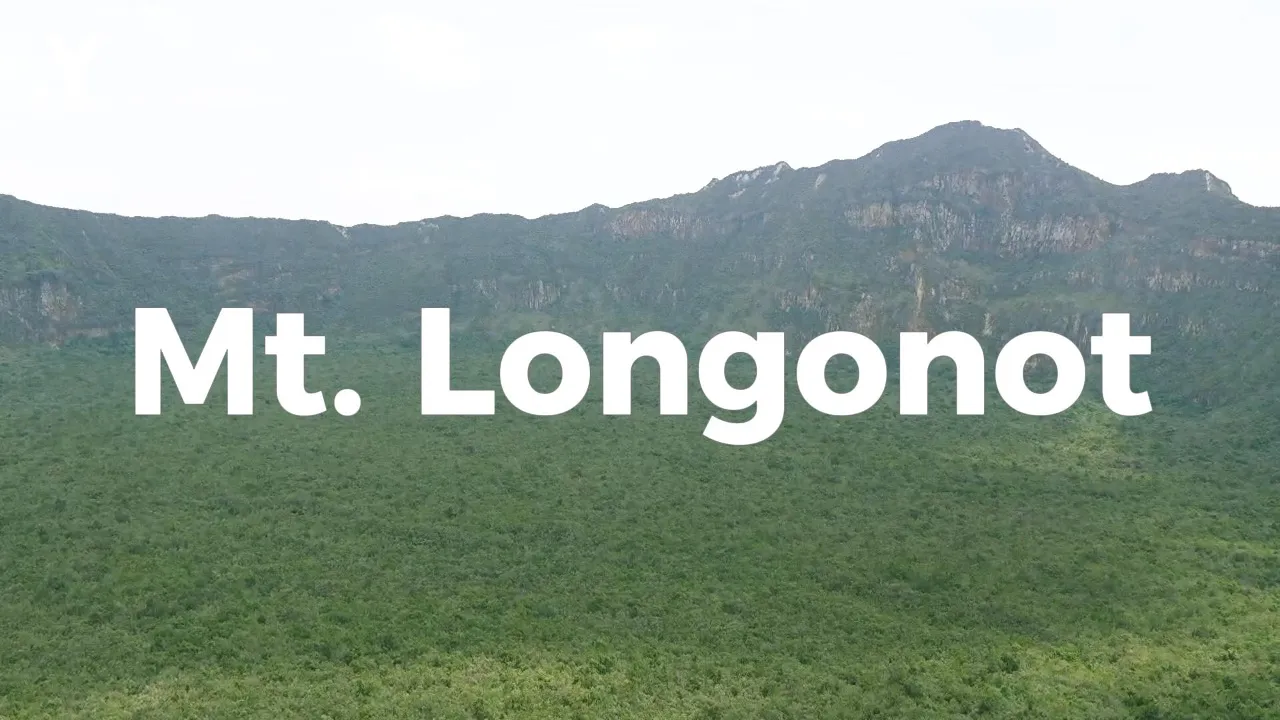
Mount Longonot is a stratovolcano in Kenya's Great Rift Valley and the centre of Mount Longonot National Park in Nakuru County. It has a large caldera, with dense forest on the crater floor.

Most visitors come to hike to the crater rim. The trail is well defined and a challenge, with wide views of the surrounding Rift Valley and nearby Lake Naivasha. At the top, a loop trail takes you around the entire rim, with views of the whole park and its different landscapes.

The park also has wildlife. Common sightings include plains zebra, giraffes, and various types of antelope and birds.

Website: www.kws.go.ke/mount-longonot-national-park

  • #MountLongonot
  • #Volcano
  • #Hiking
  • #GreatRiftValley
  • #TravelKenya
  • #NationalPark
  • #NaturePhotography
  • #VisitKenya
  • #PlacesToVisitInKenya
A hazy view over the wide, tree-covered floor of the Great Rift Valley from a hillside, with a dark tree at the left.
A low view along a highway where lorries and a minibus queue beside roadside stalls, with a wooded hill beyond.
A lorry carrying a red shipping container passes colourful roadside stalls on a gravel verge under a clear blue sky.
Looking down a green hillside of bushes and trees to the Rift Valley floor, with a leafy branch at the left.
A roadside curio stall hung with red and blue check shukas and hats, on a wooden deck above a wooded valley.
The long grey ridge of Mount Longonot rising behind a dry grassland plain with a few acacia trees.
A red-brown sign for Mt. Longonot National Park with an arrow, beside a dirt road that leads towards the mountain.
A park map board and a wooden signpost marking the starting point, the distance to the rim and the altitude.
Visitors gather under the wide timber-roofed shelter at the park's main gate, with acacia trees beside it.
A painted sign on a stone wall pointing left to the Crater Rim, 2.5 km, with green scrub and a blue sky behind.
Timber sign for Buffalo Point giving coordinates, altitude and emergency numbers, set among shrubs beside the trail.
Looking down from the slope to a building and a track at the foot of the mountain, with farmland on the plain beyond.
Long white spines on a thorny acacia branch against a blue sky with white clouds.
Round dark galls and sharp thorns on an acacia branch, with dry grass behind.
A few hikers climbing a stepped path up a steep slope covered in green shrubs.
A broad slope of green bush rolling down towards a hazy distant hill, seen from the trail.
A steep face of pale, eroded volcanic rock with grass tufts at the top, under a deep blue sky.
Rough stone steps climbing the trail between rocks and thorny shrubs under a dark blue sky.
A cliff of layered grey and orange volcanic rock with a bare branch at the top right.
A blurred view through branches to a distant town and farmland on the valley floor below a forested slope.
Looking down a scrubby slope to a small building on the trail and farms scattered across the plain.
The forested floor of the Longonot crater and its far rim and peak, seen from the rim under scattered cloud.
A close view of the crater wall, with a rocky cliff face below a green, bush-covered summit.
Dense green forest covering the crater floor below a rocky wall, with shrub branches in the foreground.
Wooden signpost at Crater Point giving the distance around the rim and an altitude of 2,560 m, on pale sandy ground.
A close view of the Crater Point signpost with the dark crater wall and its peak rising behind it.
The covered entrance of Mt Longonot National Park headquarters, with an elephant-decorated gate and hills behind.
People in khaki uniforms and a few visitors under the headquarters entrance of Mt Longonot National Park.

13/31